Lake Palestine Maps
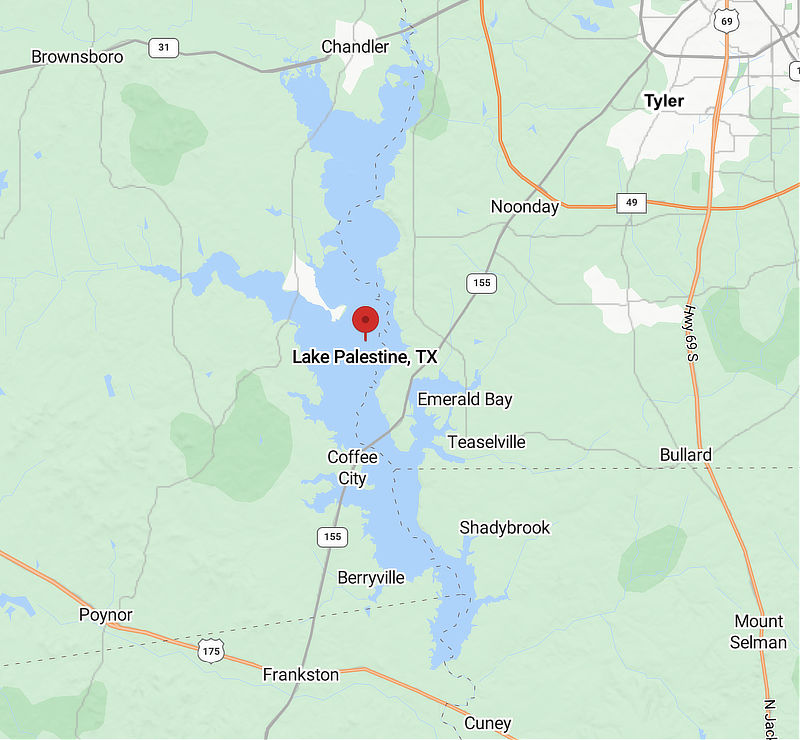
Lake Palestine is located about 15 miles southwest of Tyler, Texas, on Highway 155, the result of a dam on the Neches River owned and operated by the Upper Neches River Municipal Water Authority.
At the north end of Lake Palestine is the town of Chandler; further south on the lake, near the crossing of Highway 155, is the town of Coffee City. The town of Frankston is located about 5 miles to the west of the Lake Palestine dam.
Other communities around the lake include Dogwood City, Teaselville, Berryville, Noonday and Brownsboro.
Portions of Anderson, Cherokee, Henderson, and Smith Counties are included in the lake. The Neches River continues flowing southward from the dam, establishing the boundary between Anderson and Cherokee Counties.
The channel of the Neches River through Lake Palestine marks the boundary between Henderson County and Smith County.
It has a surface area of 25,560 acres and a maximum depth of 58 feet. The dam was completed in 1962. It is the largest lake in the Tyler area in addition to Lake Tyler.
 |
Map of Lake Palestine (courtesy of Google Maps)
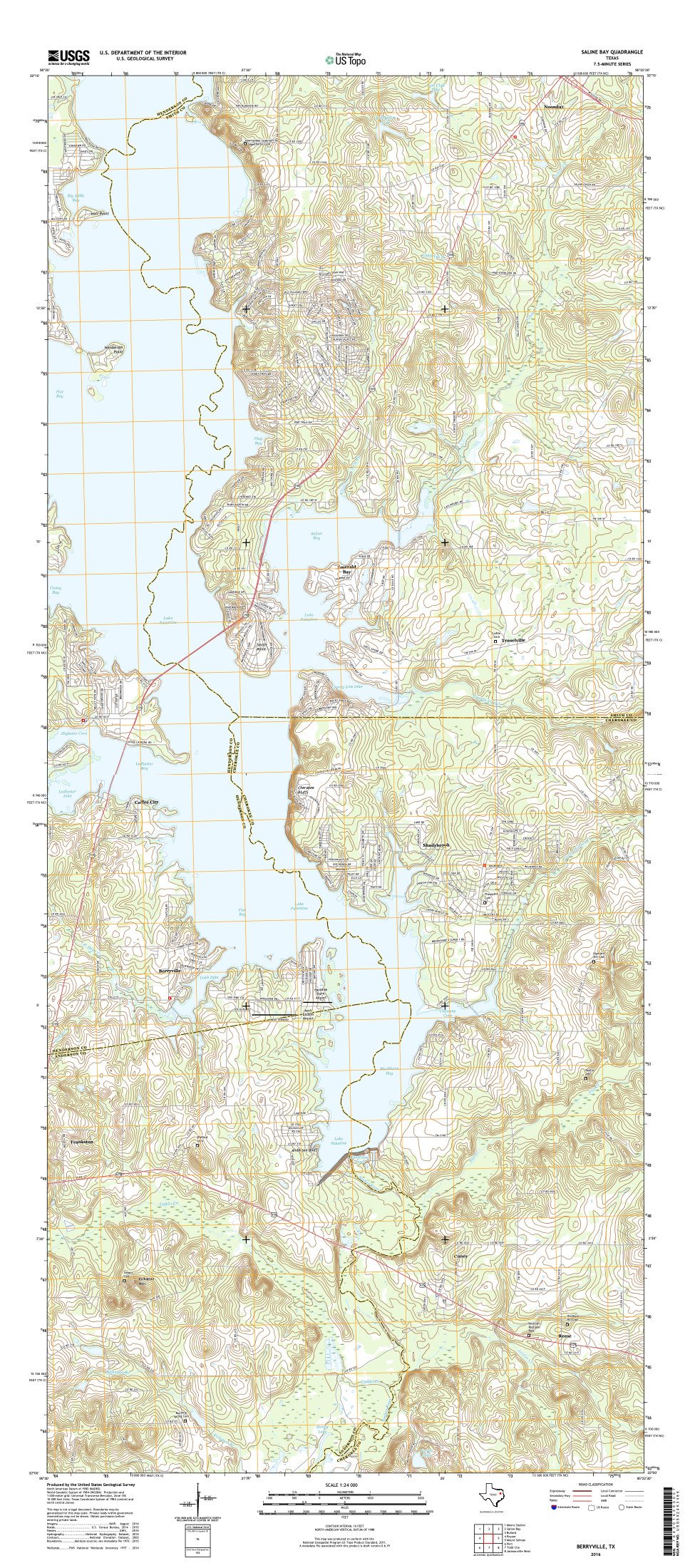
USGS Topo Map of the Southern Sections of Lake Palestine |
| More TOPO Maps at USGS.gov |
Lake Palestine Area Map |

